- 00
Days
- 00
Hours
- 00
Minutes
- 00
Seconds
Days
Hours
Minutes
Seconds


Professor:
Eric Calais, Professor, Department Head Ecole Normale Supérieure, IUF Senior Fellow Ecole Normale Supérieure, IUF Senior Fellow, Department of Geosciences, UMR CNRS 8538, 24 rue Lhomond, 75231 Paris cedex 05, France

Eric Calais is Professor of Geosciences at the Ecole normale supérieure (Paris, France), where he teaches geophysics and geodesy. He is a member of the French Academy of Sciences and a Senior Fellow of the Institut Universitaire de France. He received a PhD at the University of Nice in 1991, was postdoctoral researcher at Scripps Institution of Oceanography (USA) until 1995, research scientist at the CNRS (Nice) until 2001, professor at Purdue University (USA) until 2012, and joined Ecole normale supérieure in 2013. He received the Faculty Scholar Award from Purdue University in 2005, the Jacob Award from the French Academy of Sciences in 2008, and the Frank Press Award from the Seismological Society of America in 2012. His research interests concern the kinematics and dynamics of active tectonic processes, which he studies using space geodesy and deformation modeling. He led a number of field experiments worldwide – Caribbean, central Asia, east Africa, western Europe — to study individual earthquakes, volcanic events, the deformation of plate margins, and the motion of tectonic plates. A significant component of his research is devoted to understanding active geodynamic processes in the northern Caribbean, with a focus on Cuba, Haiti, and the Dominican Republic.
Objective: Describe the key characteristics of the Global Navigation Satellite System (GNSS) and explain why, how and under what conditions the sub-centimetric positioning is possible, with the aim of interpreting the kinematics of regions that are actively deformed. Discuss GNSS orbits and signals, reference frames and various strategies to convert rank data ("GNSS observables") into positions. Use the Caribbean context to discuss time series of site positions, in particular to continuously record GNSS stations, from which noise characteristics and site velocities can be extracted. Discuss how the resulting velocities can be used for the kinematic interpretation of regional tectonics and for the study of the earthquake cycle.
Recommended prerequisites: background in geophysics and tectonics with mastery level, a basic understanding of the physics of electromagnetic waves, some background in linear algebra.
Supplementary material:
Suggested reading: http://www.geologie.ens.fr/~ecalais/teaching/gps-geodesy/
Some fundamental works on the fundamentals of GPS:
BOOKS:
Program:
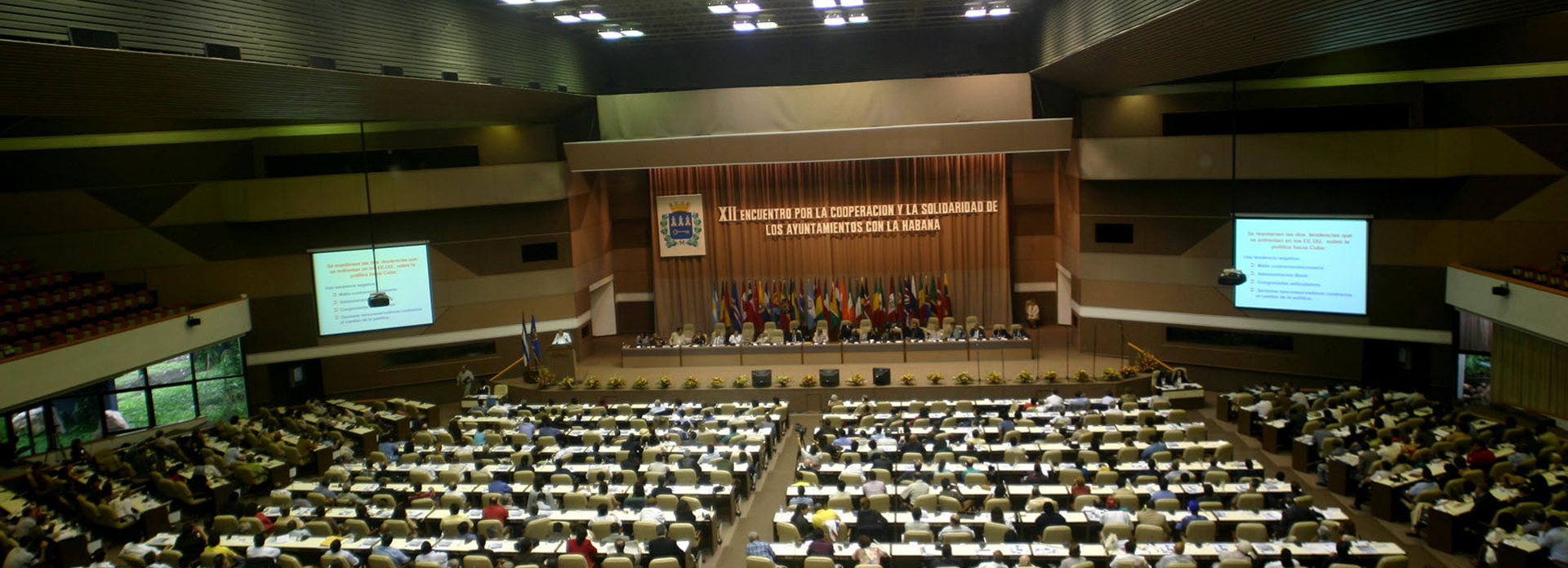
Day 1, Saturday March 30, 2019. 9 am - 1 pm
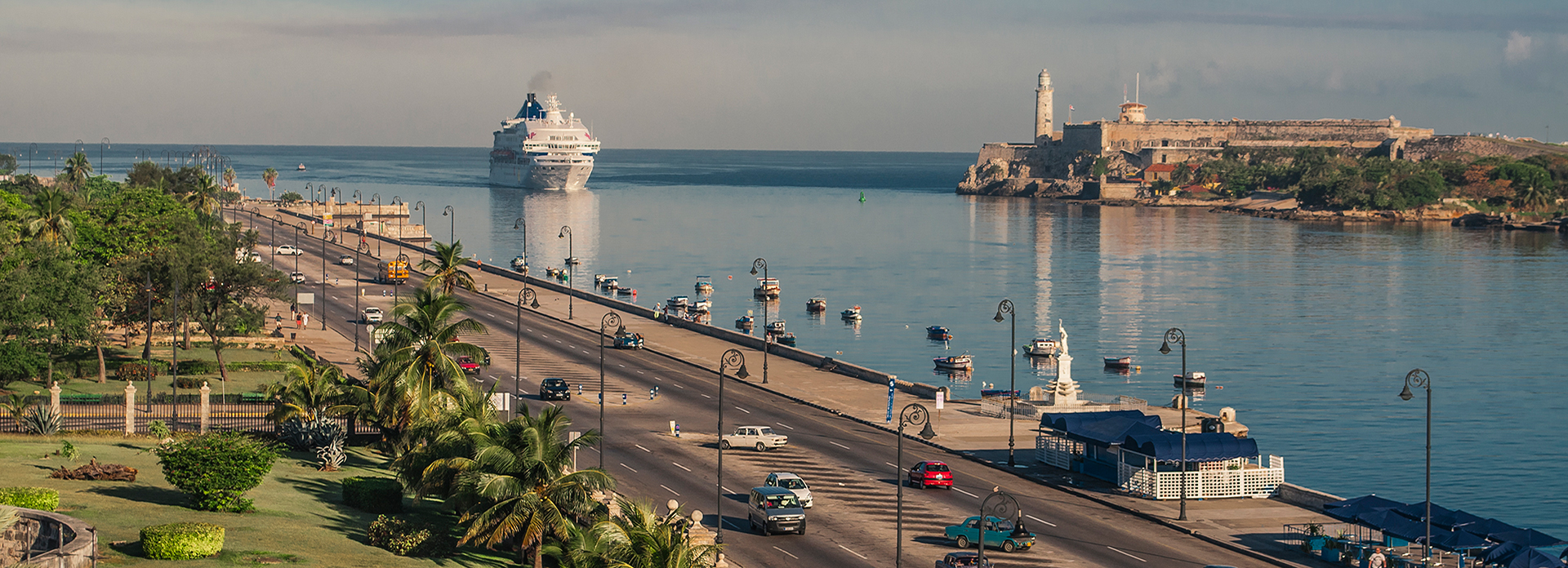
Place:
Room at the Palco Hotel